|
SVS Image Server
|
Available Animations List
These image and animation layers are available through Web Map Services (WMS) on
the SVS Image Server. Links are provided to explanatory pages and animations
on the Scientific Visualization Studio web site.
 New! Many of these animations are now available to be
used in Google Earth. Just look for this link image in the list of animations
below. To view these animations properly, the animation slider should be set
to its minimal size and other layers such as terrain should be turned off.
You may also need to increase the memory cache size and disk cache size
within the Google Earth settings. Follow this link to get more information about Google Earth and
KML files.
New! Many of these animations are now available to be
used in Google Earth. Just look for this link image in the list of animations
below. To view these animations properly, the animation slider should be set
to its minimal size and other layers such as terrain should be turned off.
You may also need to increase the memory cache size and disk cache size
within the Google Earth settings. Follow this link to get more information about Google Earth and
KML files.
|
Category: Human Dimensions |
Movie
or
Image |
WMS
Layer
Name |
Scientific Visualization Studio Web Page |
|
|
|

|
3352_24736 |
|
Before and During the Great Mississippi Flood of 1993
|
|
|
3352_24737 |
|
Before and During the Great Mississippi Flood of 1993 (2 still images)
|

|
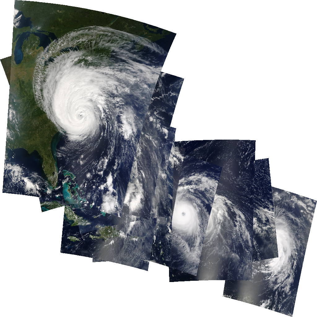
3255_22652 |
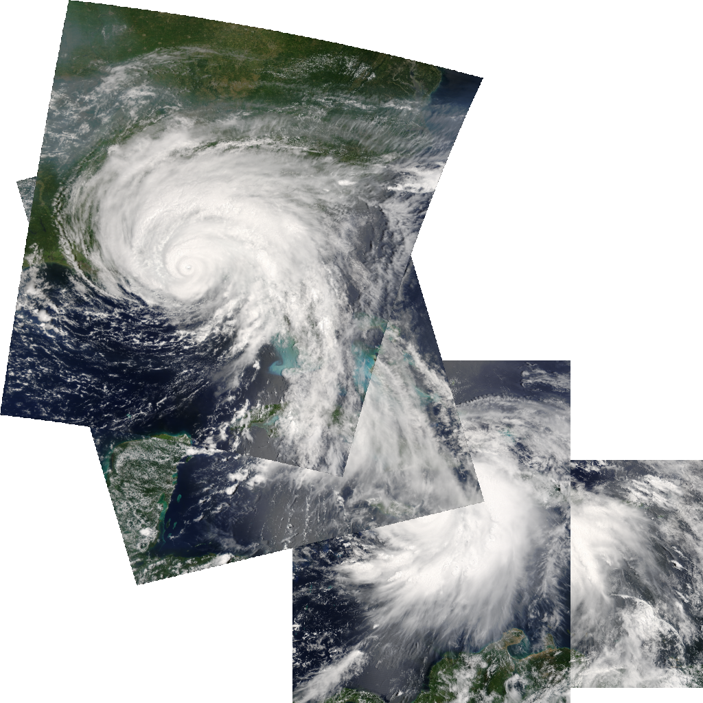
|
Aqua MODIS Imagery of Hurricane Katrina
|

|
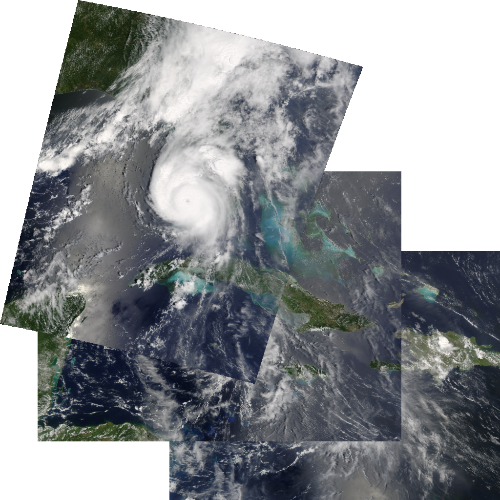
3254_22657 |
|
GOES-12 Imagery of Hurricane Katrina: Visible Close-up
|

|
3250_22668 |
|
TRMM Microwave Measurements during Hurricane Katrina: Horizontal Polarization
|

|
3249_22662 |
|
TRMM Microwave Measurements during Hurricane Katrina: Vertical Polarization
|

|
3248_22701 |
|
TRMM Microwave Brightness Temperature Progression During Hurricane Katrina: Horizontal Polarization
|

|
3247_22695 |
|
TRMM Microwave Brightness Temperature Progression during Hurricane Katrina: Vertical Polarization
|

|
3243_22680 |
|
TRMM Microwave Brightness Temperature Swath during Hurricane Katrina: Horizontal Polarization
|

|
3242_22674 |
|
TRMM Microwave Brightness Temperature Swath during Hurricane Katrina: Vertical Polarization
|

|
3240_24673 |
|
Hurricane Katrina Sea Surface Temperature
|

|
3239_24672 |
|
Hurricane Katrina Rain Accumulation
|

|
3238_22718_705010 |
|
Progression of Hurricane Katrina, 2005 (image sequence)
|
|
|
3238_23161 |
|
Progression of Hurricane Katrina, 2005 (still image)
|

|
3237_22569 |
|
GOES-12 Imagery of Hurricane Katrina: Longwave Infrared Progression
|

|
3236_22547 |
|
GOES-12 Imagery of Hurricane Katrina: Longwave Infrared Overview
|

|
3235_22556 |
|
GOES-10 Imagery of Hurricane Katrina: Full Disk Longwave Infrared
|

|
3234_22542 |
|
GOES-12 Imagery of Hurricane Katrina: Full Disk Lower Level Temperature
|

|
3233_22537 |
|
GOES-12 Imagery of Hurricane Katrina: Full Disk Longwave Infrared
|

|
3232_22532 |
|
GOES-12 Imagery of Hurricane Katrina: Full Disk Water Vapor
|

|
3231_22527 |
|
GOES-12 Imagery of Hurricane Katrina: Full Disk Shortwave Infrared
|

|
3230_22515 |
|
GOES-12 Imagery of Hurricane Katrina: Full Disk Visible
|

|
3216_22510 |
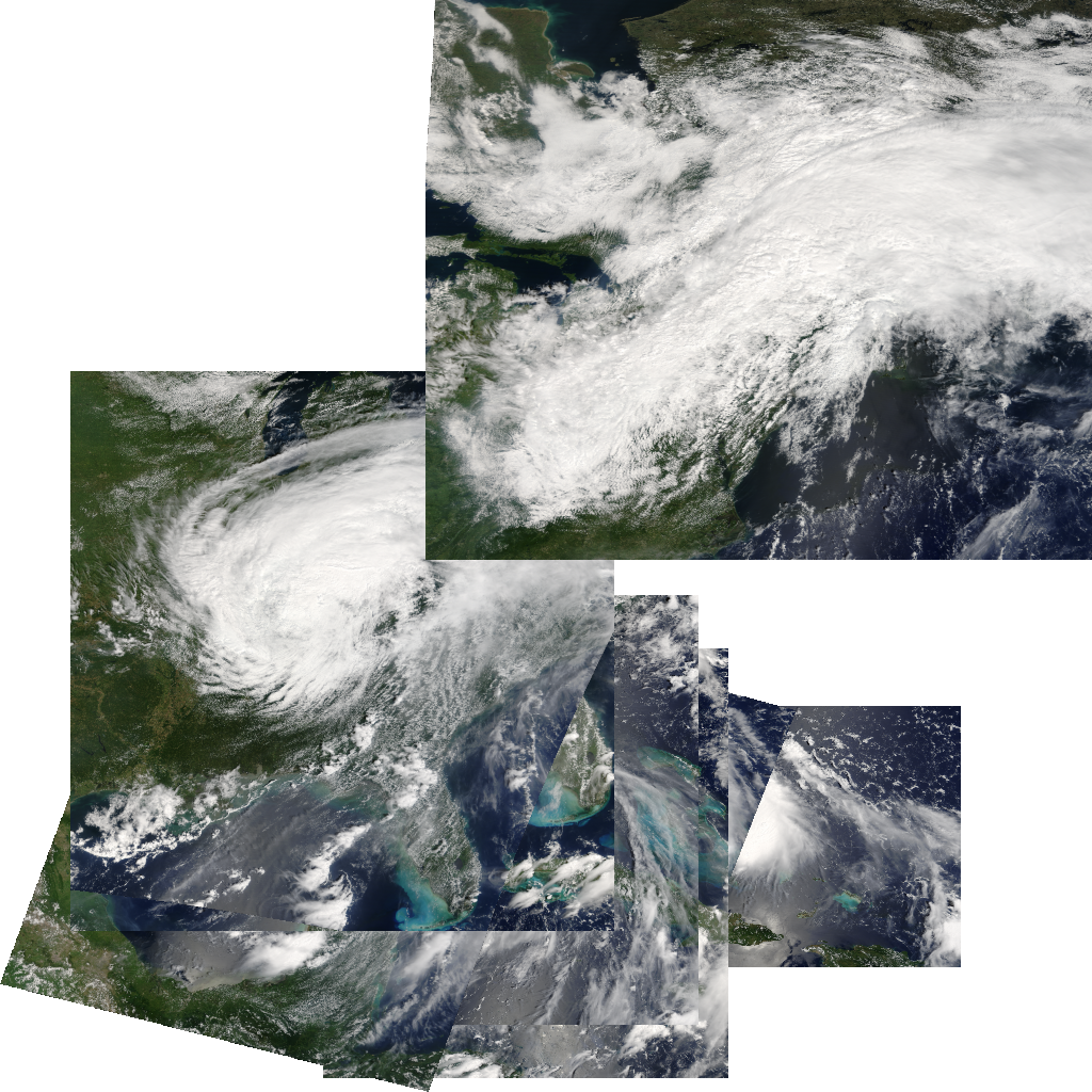
|
GOES-12 Imagery of Hurricane Katrina: Longwave Infrared Close-up
|

|
3210_22210 |
|
Global Large-scale Precipitation during Hurricane Frances
|

|
3209_22204 |
|
Global Convective Precipitation during Hurricane Frances
|

|
3208_22198 |
|
Global Cloud Cover during Hurricane Frances
|

|
3207_22192 |
|
Global 300 hPa Geopotential Height during Hurricane Frances
|

|
3203_22161 |
|
Global High Altitude Wind Speed during Hurricane Frances
|

|
3202_22146 |
|
Global Atmospheric Water Vapor during Hurricane Frances
|

|
3201_22141 |
|
Global Surface Wind Speed during Hurricane Frances
|

|
3200_22107 |
|
Progression of Hurricane Emily, 2005 (still image)
|
|
|
3200_22108_648221 |
|
Progression of Hurricane Emily, 2005 (image sequence)
|

|
3199_22125 |
|
Global Surface Latent Heat Flux during Hurricane Frances
|

|
3198_22136 |
|
Global Surface Air Temperature during Hurricane Frances
|

|
3197_22130 |
|
Global Atmospheric Surface Pressure during Hurricane Frances
|

|
3194_22032_645548 |
|
Progression of Hurricane Dennis, 2005 (image sequence)
|
|
|
3194_22037 |
|
Progression of Hurricane Dennis, 2005 (still image)
|

|
3182_22152 |
|
Global Atmospheric Sea Level Pressure during Hurricane Frances
|

|
3169_21478 |
|
Sulfur Dioxide from the Mount Pinatubo Volcanic Eruption, 1991
|

|
3164_21402 |
|
United States Median Center of Population, 1880-2000
|

|
3163_21398 |
|
United States Mean Population Center, 1790-2000
|

|
3158_21378_526232 |
|
Progression of Hurricane Fabian, 2003 (image sequence)
|
|
|
3158_21476 |
|
Progression of Hurricane Fabian, 2003 (still image)
|

|
3157_21374 |
|
Urban Signatures: Sensible Heat Flux (still image)
|

|
3156_21370 |
|
Urban Signatures: Latent Heat Flux (still image)
|

|
3155_21366 |
|
Urban Signatures: Thermal Radiation (still image)
|

|
3154_21362 |
|
Urban Signatures: Evaporation (still image)
|

|
3153_21352_526229 |
|
Progression of Hurricane Charley, 2004 (image sequence)
|
|
|
3153_21359 |
|
Progression of Hurricane Charley, 2004 (still image)
|

|
3152_21348 |
|
Urban Signatures: Temperature (still image)
|

|
3151_21289_522947 |
|
Progression of Hurricane Ivan, 2004 (image sequence)
|
|
|
3151_21311 |
|
Progression of Hurricane Ivan, 2004 (still image)
|

|
3147_21260_522889 |
|
Progression of Hurricane Frances, 2004 (image sequence)
|
|
|
3147_21282 |
|
Progression of Hurricane Frances, 2004 (still image)
|

|
3116_21024 |
|
Mount St. Helens Before, During, and After
|

|
3113_20990 |
|
Rondonia Deforestation
|

|
3112_20979 |
|
Aral Sea Evaporation
|

|
3035_19349_446868 |
|
Progression of Hurricane Jeanne, 2004 (image sequence)
|
|
|
3035_21240 |
|
Progression of Hurricane Jeanne, 2004 (still image)
|

|
3034_19343 |
|
Accumulated Rainfall during Hurricanes Frances, Ivan, and Jeanne, 2004
|

|
3033_19337 |
|
Model of Precipitable Water during Hurricane Isabel, 2003
|

|
3032_19332 |
|
Model of Clouds during Hurricane Isabel, 2003
|

|
2920_17613 |
|
Tropical Storm Allison Progression
|

|
2919_17589_347556 |
|
Progression of Hurricane Isabel, 2003 (image sequence)
|
|
|
2919_21239 |
|
Progression of Hurricane Isabel, 2003 (still image)
|

|
2916_21230 |
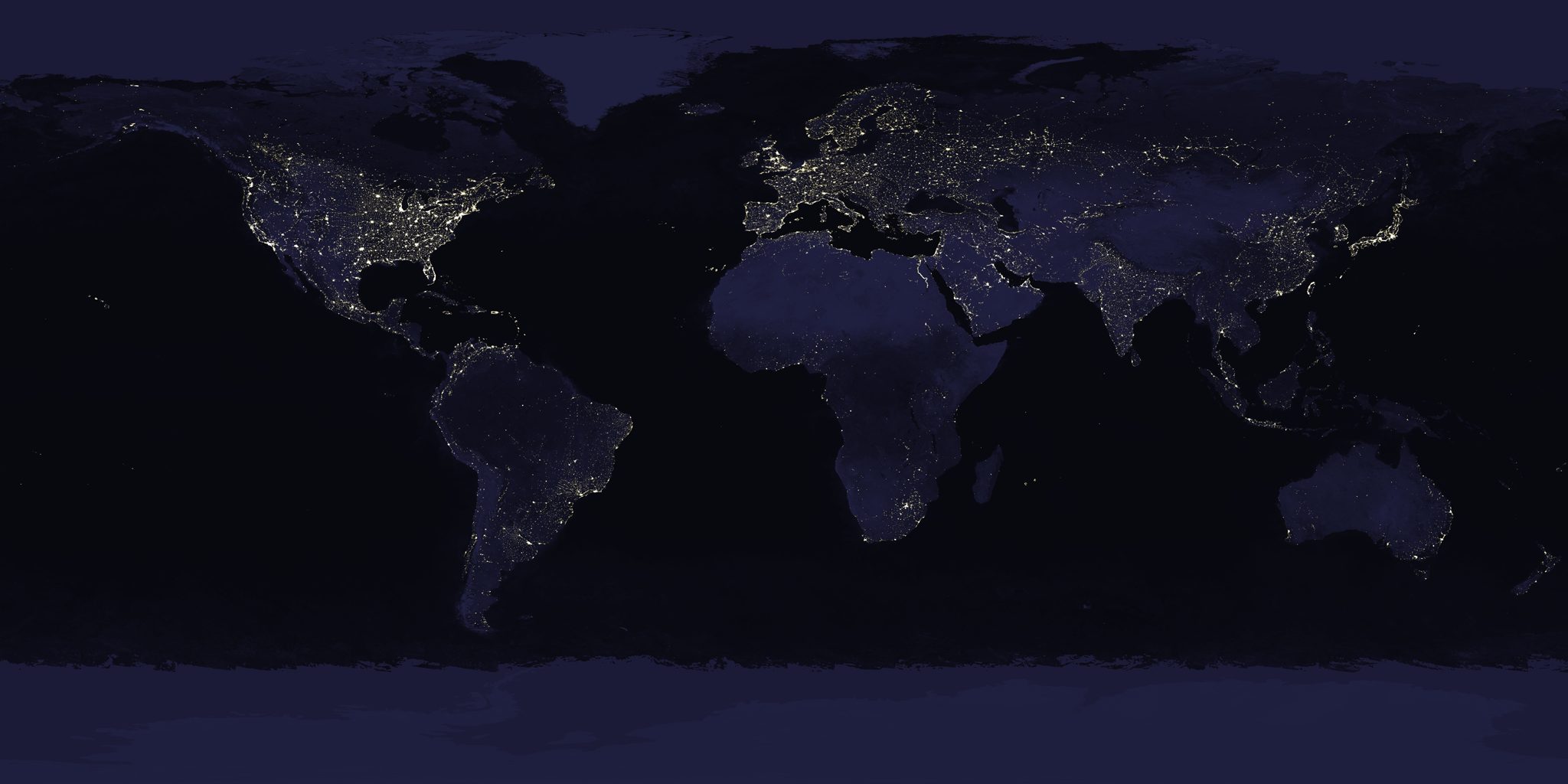
|
Earth At Night (3 still images)
|

|
2912_21392 |
|
Population Density of the World, 1990-2015
|

|
2911_17530 |
|
Urbanization around the Pearl River Estuary in China from 1973 through 2001
|

|
2909_17518 |
|
Wildfire Growth around Yellowstone National Park in 1988
|

|
2898_17449 |
|
GOES Imagery of Hurricane Luis
|

|
2896_17437 |
|
Wind Vectors for Hurricane Erin
|

|
2893_17420 |
|
Cumulative Earthquake Activity from 1980 through 1995
|

|
2892_17415 |
|
Satellite Imagery of Hurricane Dennis
|

|
2890_17402 |
|
African Fires During 2002
|
| Back to Categories List |
Table of Contents
SVS Image Server Home Page
Overview
Tutorial Introduction
Accessing the Table of Contents
Asking for an Image
Asking for an Animation
Asking for an Image Sequence
Design Considerations - Fixed Size Images
Design Considerations - Projections
Styles and Legends
Metadata - Abstracts and Keywords
Metadata - Attributions and FGDC Metadata
Appendices
Standards
Available Animations List
|